After scaling South Sister at the end of August, I noted that I wasn’t sure I would be able to do another higher-altitude hike before the weather turned cold.
Well, I still felt like I had another hike in me. And the weather hasn’t been that bad yet. I had a couple relatively close hikes in mind. One in particular, Olallie Butte, looked promising. At 7,200 feet, it’s the highest point between Mount Hood and Mount Jefferson, it has a decent trail that goes all the way to the summit, and it isn’t that far away.
Then, I started reading up on it. Apparently, some years ago, a treaty was settled between the US government and the Warm Springs Indian Reservation, and the Reservation took over part of the Willamette National Forest. That part included two thirds of the Olallie Butte trail, including the summit.
People do still hike that trail, but all signage has been removed, and the Reservation seems to discourage it. Attempting to ask Warm Springs officials what the official policy is goes nowhere. So while I haven’t heard of any issues climbing it, I also felt somewhat uncomfortable doing so when the people in charge of the land clearly didn’t encourage hikers. Especially since I was planning on taking pictures and writing about the experience.
Maybe next year, if I can get a firm okay from a reservation official, I might head out there. But in the meantime, I’d rather avoid being that guy. So, I looked elsewhere.
I really wasn’t looking for anything strenuous, but I was hoping for some good vistas. While perusing OregonHikers, I was excited to run across Battle Ax, a 5,558 ft shield volcano standing at the south end of the Bull of the Woods Wilderness, about 20 miles northwest of Mount Jefferson. It’s only about two hours away from Portland, and apparently has amazing views of the Cascades from the top. Sounded perfect. There were some warnings about the quality of the final six mile stretch of gravel road leading to the trailhead, but I figured if my car could handle the obstacle course leading to the Bluff Mountain-Silver Star hike, this should be fine.
I initially eyed Sunday, October 7, but the weather was cloudy and cool… not so great if I wanted vistas. So I waited a little longer.
Last weekend, I found myself with a free Saturday, clear skies, and highs predicted in the fifties Fahrenheit.
Perfect.
I woke up at 5 AM two Saturdays ago (the 13th), grabbed my pre-packed bag, layered up for the 36 degree (2°C) start, and headed out into the dark.
At about 7:45 am, I turned onto FR 4697, and started rattling uphill. Yeah… the road was bad. My Acura coupe is not an off-road vehicle. But going slow, easing around rocks and washouts, and taking steep points at angles kept me from doing any damage.
It felt like it took forever, but there was nobody else on the road, so I wasn’t annoying some dude in a Jeep stuck behind me.
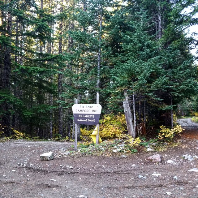
After nearly 7 miles and maybe 35 minutes, I finally reached the “trailhead,” which was just a slightly wider piece of road a couple hundred feet beyond a fork. The left side went down to Elk Lake and a campground. The right side had the parking area and a rapidly deteriorating (seriously) road. Technically, there was parking farther down, too, but I was pushing my luck as it was.
Hunter Breckenridge – 2018
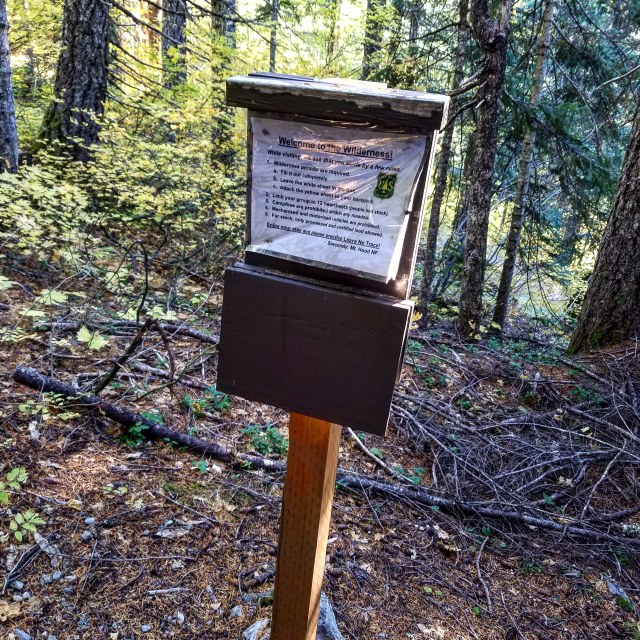
I parked, grabbed my pack, and started down the road. After about a third of a mile, a steep and narrow trail veered up into the woods to my right. It was marked with a fairly small sign, though they did include another tiny sign just a few feet further up the path.


A small permit station stood just beyond the second sign, but it was in some disrepair, and no longer contained any permits. I figured I was okay without one.
Hunter Breckenridge – 2018
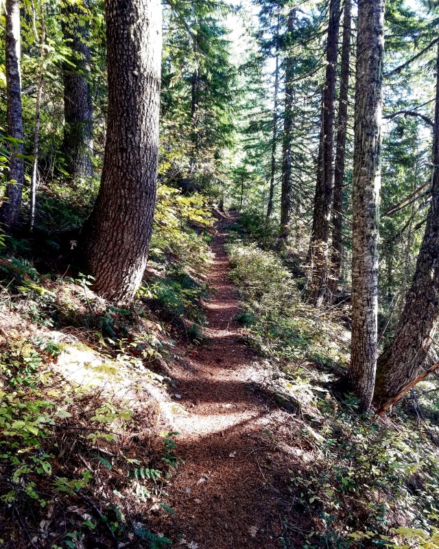
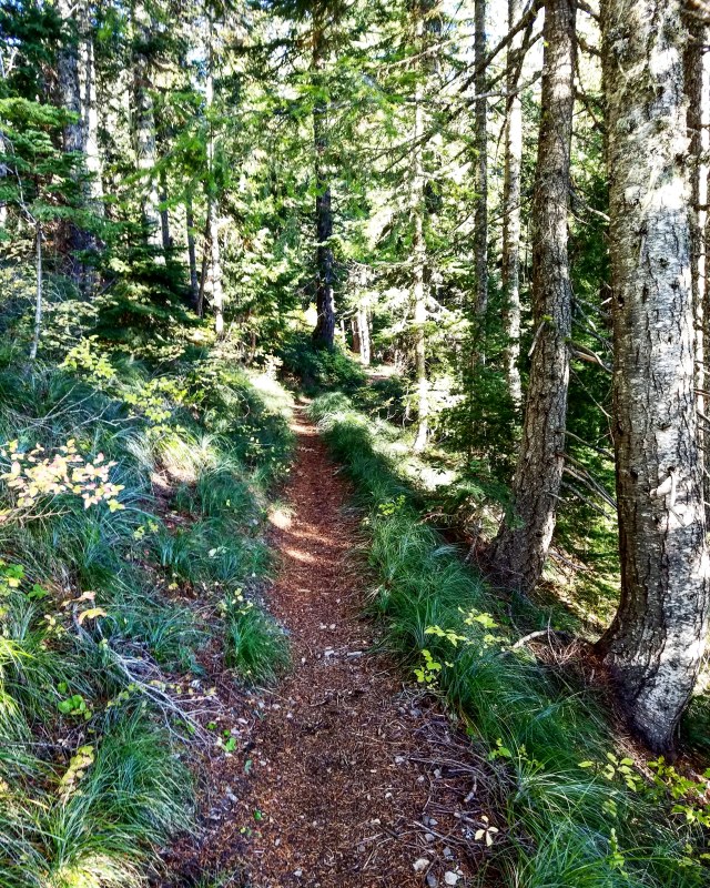
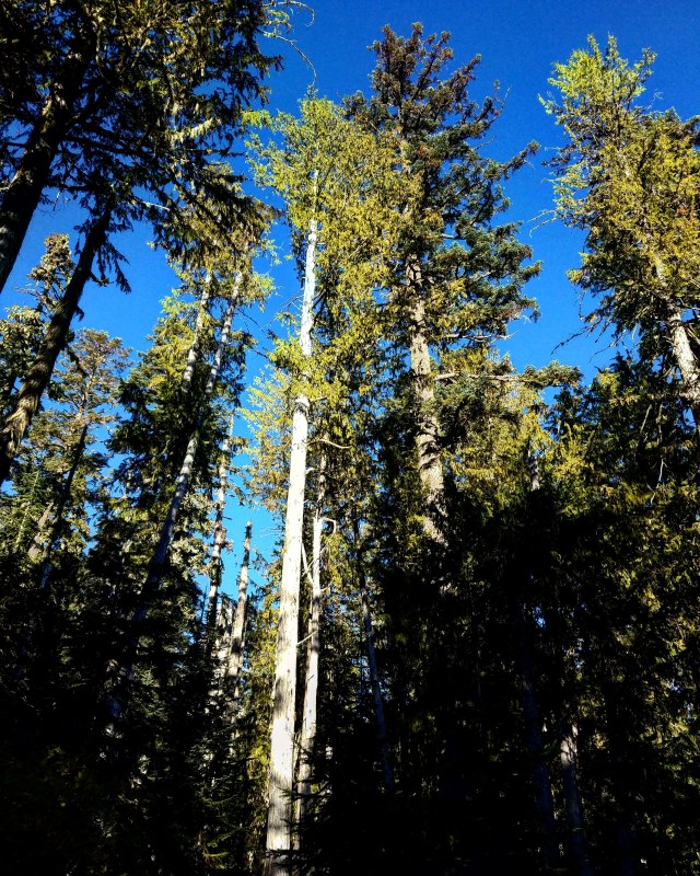
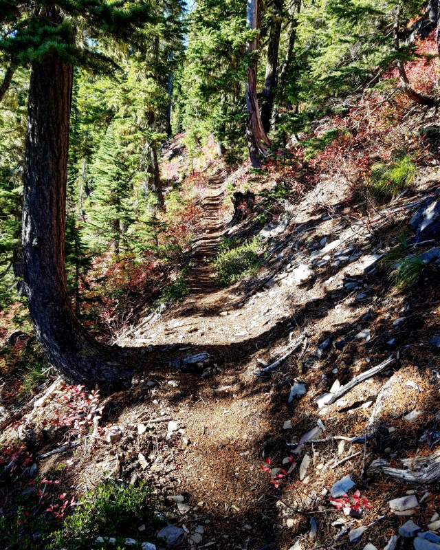
The trail veered through the woods, moving inexorably upwards. It wasn’t quite as steep as some of the other hikes I managed this year, but the terrain felt pretty similar. After the first half mile or so, it felt like I could have been on Dog Mountain, or Saddle Mountain, or almost anywhere else in the region.
Hunter Breckenridge – 2018
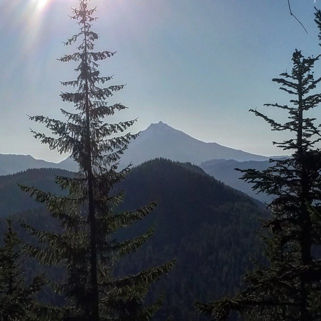
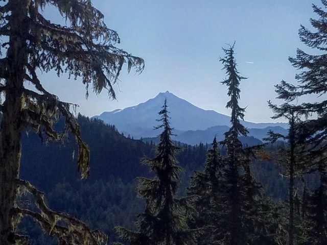
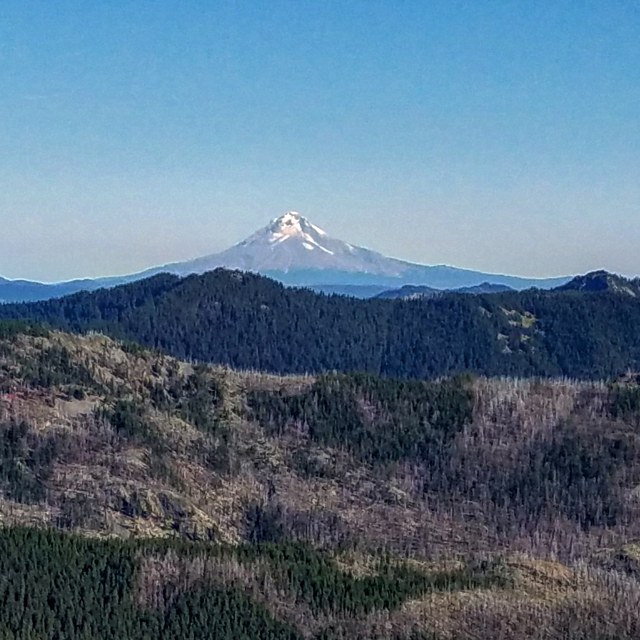
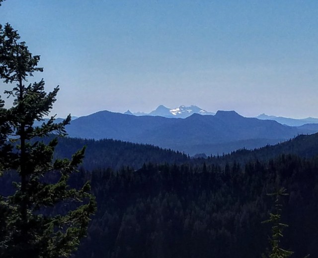
About 20 minutes in, I finally got my first glimpse of Mount Jefferson through a gap in the trees. As it was backlit by the rising sun, few details were visible, but the outline was impressive.
Hunter Breckenridge – 2018
It didn’t take long for me to start warming up. I unzipped my jacket and removed my gloves within the first half hour. It may still have been under 40 degrees, but it felt warmer.
Maybe the trail was steeper than I realized.
Hunter Breckenridge – 2018
Parts of the early section of trail were made of a mulch-like material that was quite forgiving on the joints. Thus far, it was the easiest hike I attempted this year.
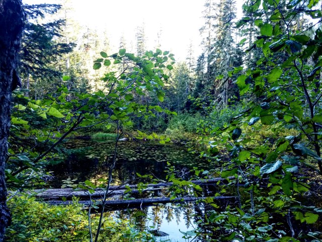
The ground was damp in parts, and I passed a sizable tarn after the first couple of switchbacks.
Hunter Breckenridge – 2018
The path leveled near the tarn, and then quickly steepened just past it.
Hunter Breckenridge – 2018
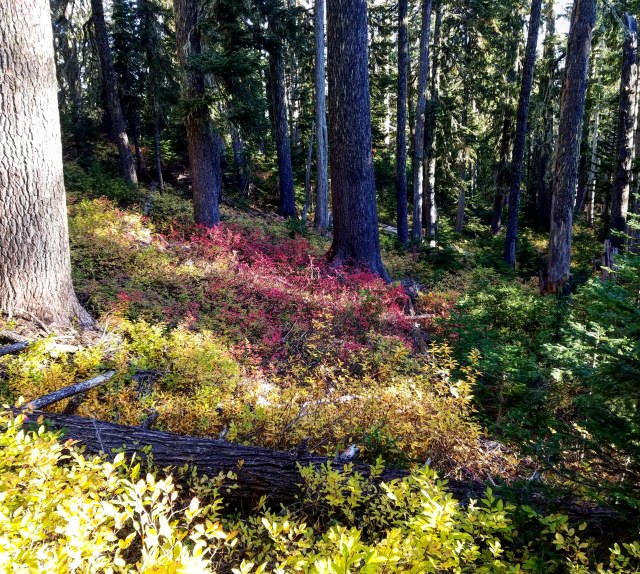
In a particularly marshy area, massive trees loomed imposingly over me.
Hunter Breckenridge – 2018
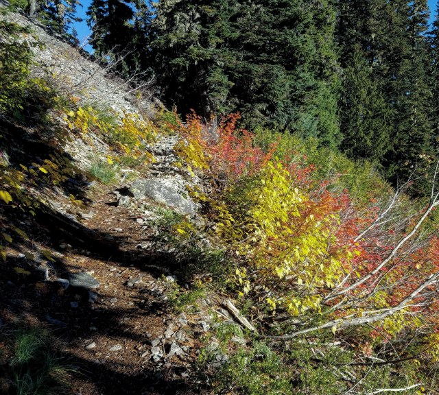
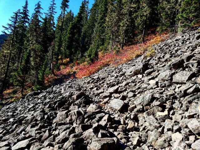
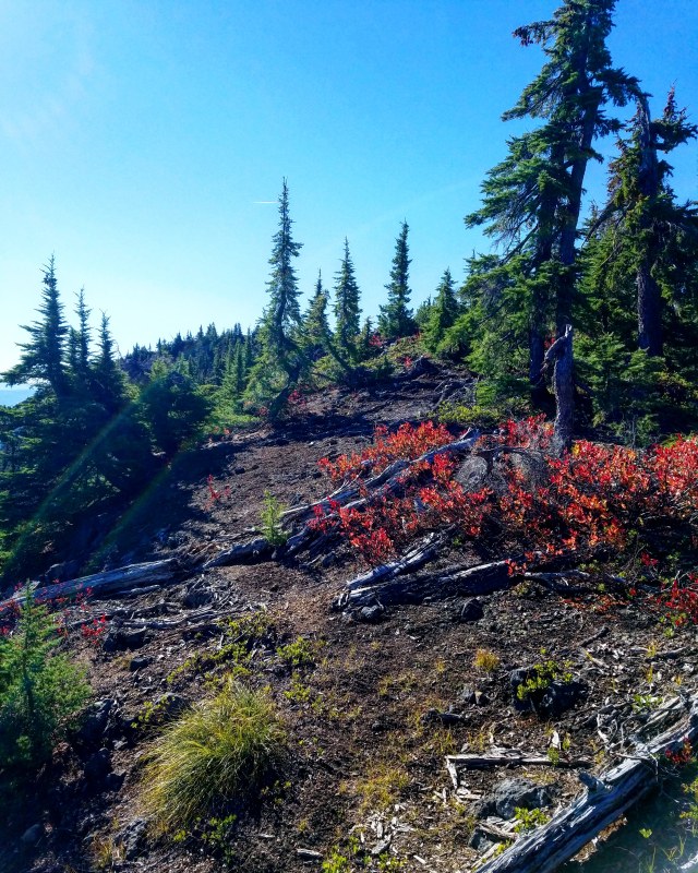
Autumn colors brightened the underbrush.
Hunter Breckenridge – 2018
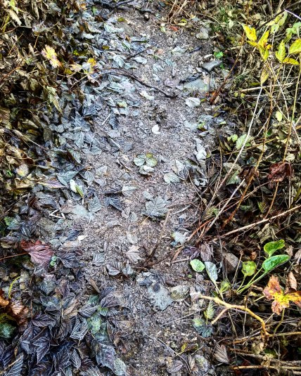
There was a noticeable layer of frost on sections of the trail.
Hunter Breckenridge – 2018
This was odd, in part because the temperature was a bit above freezing – and rising. Also odd because other sections before and after were damp, muddy, and occasionally covered in actual running water.
In fact, there were a handful of segments I encountered about an hour into the hike that made me think I had stepped off the trail and into a stream or creek.
Water poured down parts of the trail, causing me to backtrack briefly. It appeared to be a creekbed, but further exploration indicated I was still on the trail, albeit a mildly flooded section.
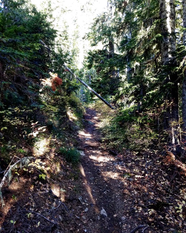
It wasn’t quite like parts of Mount Defiance or South Sister – where the tail disappeared altogether. But the trail did become far less clear at points.

Hunter Breckenridge – 2018
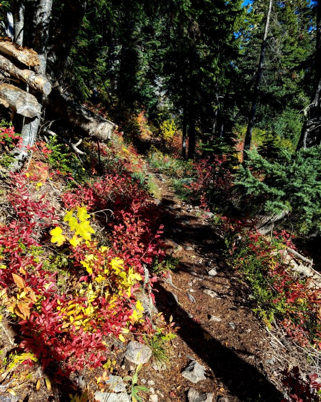
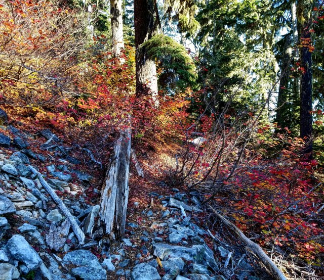
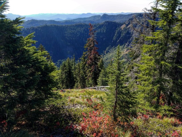
By 9:00, I was coming across a lot of early autumn color – mostly in the underbrush.
Hunter Breckenridge – 2018
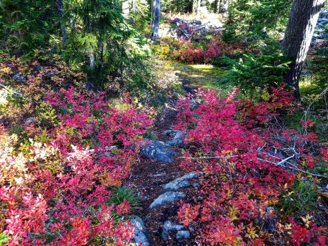
Many of these photos don’t do the color justice.
Hunter Breckenridge – 2018
At one point, I got a nice view of Olallie Butte.
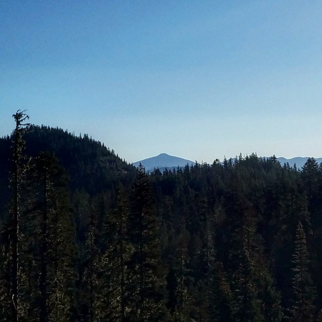
Hunter Breckenridge – 2018
The foliage continued to do its thing.
Hunter Breckenridge – 2018
Around 9:20, I came across a footbridge between two tarns.

Hunter Breckenridge – 2018

Hunter Breckenridge – 2018
Just beyond was a marshy field, a hybrid of tarn and meadow.

Hunter Breckenridge – 2018
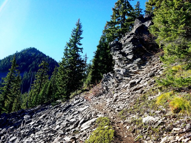
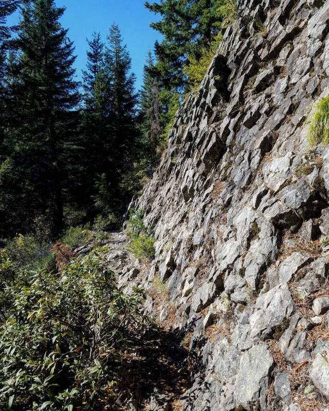
The path gradually became rockier.
Hunter Breckenridge – 2018
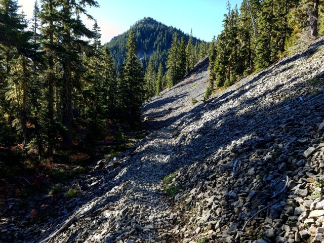
At 9:40, I came up to a big talus slope. There was a trail worn into it, but it was sketchy at points.

Hunter Breckenridge – 2018
As I made my way across the boulders, a sizable rock gave way beneath my foot. I caught myself before sliding off the edge of the trail, banging my knee into another rock.
“Idiot,” I cursed to myself. “In Latin, Jehovah begins with an ‘I’!”
I pulled myself back up, and made my way across, my good-natured grumbling giving way to a partial recitation of the greatest movie of 1989.
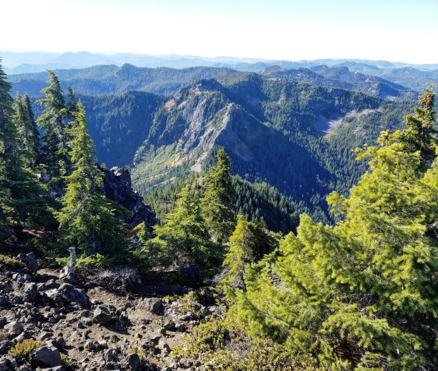
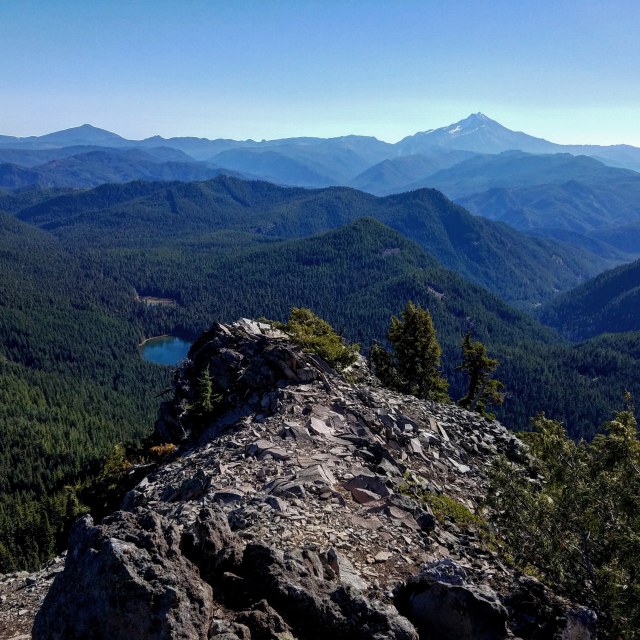
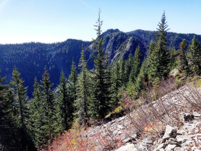
Despite my self-amused reverie, I indulged a glance back up from where I came. I could see the bulk of Battle Ax receding from view.
Hunter Breckenridge – 2018
I understood that the trail would soon double back, and head toward the summit. However, it was slightly discouraging to realize that I had to continue away from my destination before I could actually conquer it.

Hunter Breckenridge – 2018
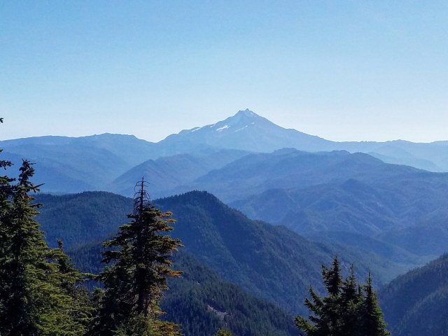
Another great view of the outline of Mount Jefferson, still mostly backlit.
Hunter Breckenridge – 2018
At 9:52, I reached a four-way trail junction. A campsite lay directly ahead, and paths leading off into the Bull of the Woods Wilderness veered to the left and right.
A sharp left, basically going backwards, led upward, back toward the mountain. After a short break for a snack, I made my way up the trail.

Hunter Breckenridge – 2018
It wasn’t long before I was passing back across the big talus field – this time from higher up.
Hunter Breckenridge – 2018
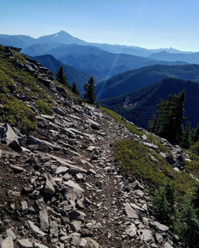
As I made my way back toward Battle Ax, the views improved. Here is Mount Jefferson on the left, and I believe Three Fingered Jack on the right.
Hunter Breckenridge – 2018
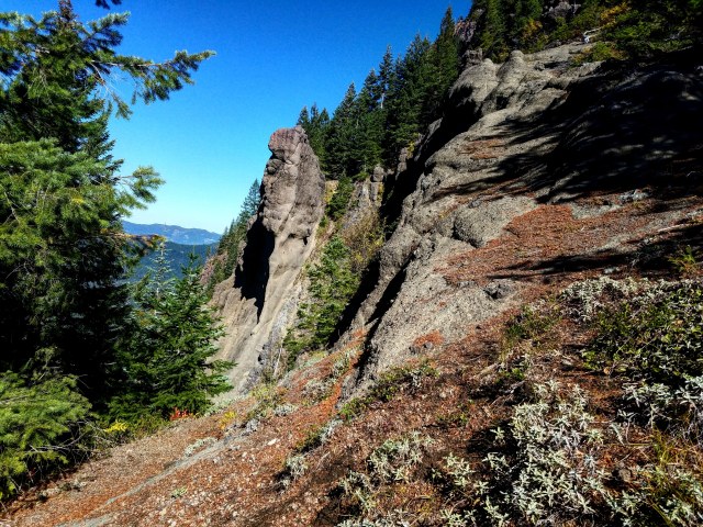
Interesting rock formations appeared on the slopes.
Hunter Breckenridge – 2018
The trail got steeper, and began switching back.
Hunter Breckenridge – 2018
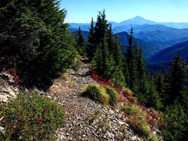
The path moved to the right side of a ridge, and became fairly strenuous.
Hunter Breckenridge – 2018
At 10:35, after a bunch of switchbacks, there was an outcropping facing north-ish. Mount Hood finally became visible, in all its picturesque glory.

Hunter Breckenridge – 2018
At this point, the switchbacks ended, and I found myself heading mostly south, along the final summit ridge. I was at least 5,400 feet now, and for a while, I could see the summit not far off.
Hunter Breckenridge – 2018

Hunter Breckenridge – 2018
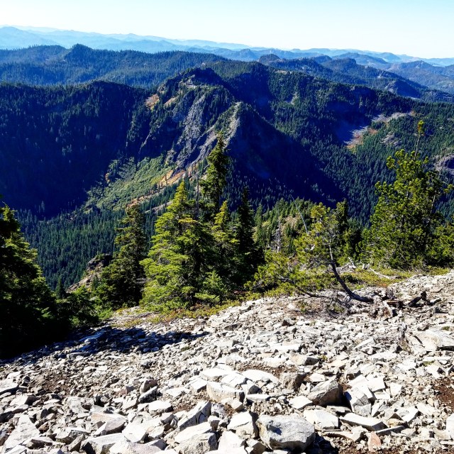
As I hoped, the views were spectacular. To the right and below was the bulk of Mount Beachie. Back north, Mount Hood continued to loom impressively behind me.
Hunter Breckenridge – 2018
Hunter Breckenridge – 2018
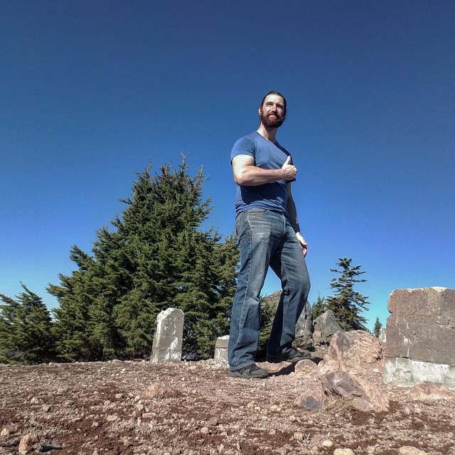
At 1050, I had to pick my way around a sizable rock formation, and found myself on the summit. The bare supports of what used to be a lookout tour were all that remained of a human presence at the top.

Hunter Breckenridge – 2018
Well, that, and an Army Corps of Engineers marker.
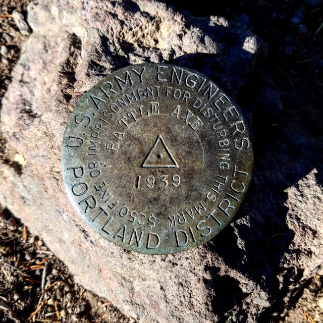
Hunter Breckenridge – 2018
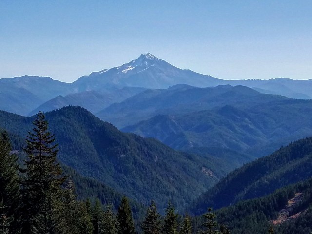
All around me, the views were gorgeous. The sun illuminated Mount Jefferson in greater detail as it ascended in the sky.
Hunter Breckenridge – 2018
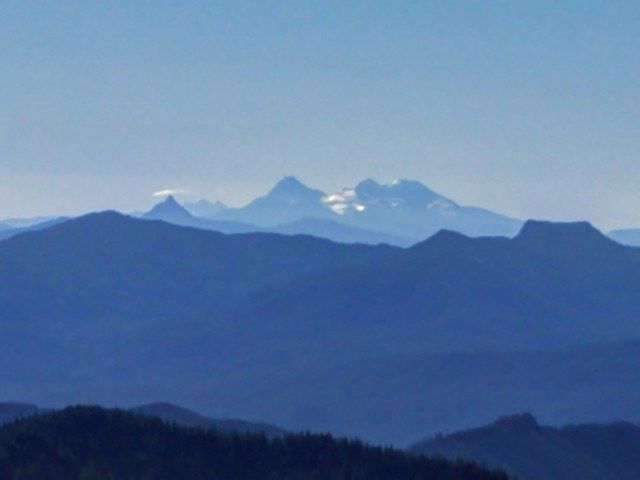
To the southeast, the Three Sisters peaked over the horizon. On the right, the South Sister waived at me. Or maybe I did the waving.
Yeah, I really enjoyed that climb.
Hunter Breckenridge – 2018
Here’s a sharper, albeit more distant shot of the Sisters, with Three Fingered Jack on the left.
Hunter Breckenridge – 2018
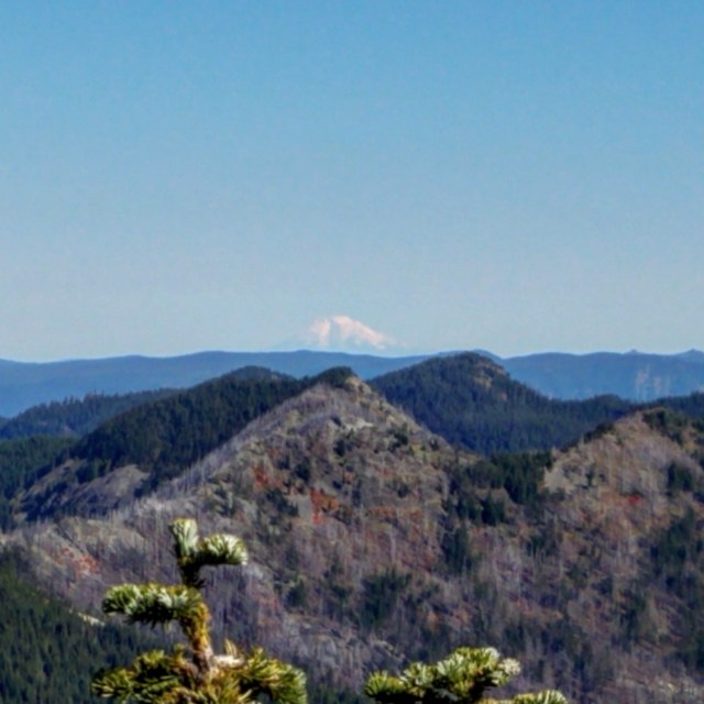
And waaaaay off in the distance, Mount Adams stood silent watch over the Cascades.
Hunter Breckenridge – 2018
My obligatory summit selfie.
Hunter Breckenridge – 2018
One last view of Mount Hood to the north.
Hunter Breckenridge – 2018
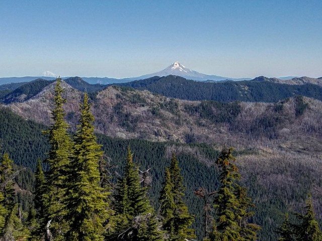
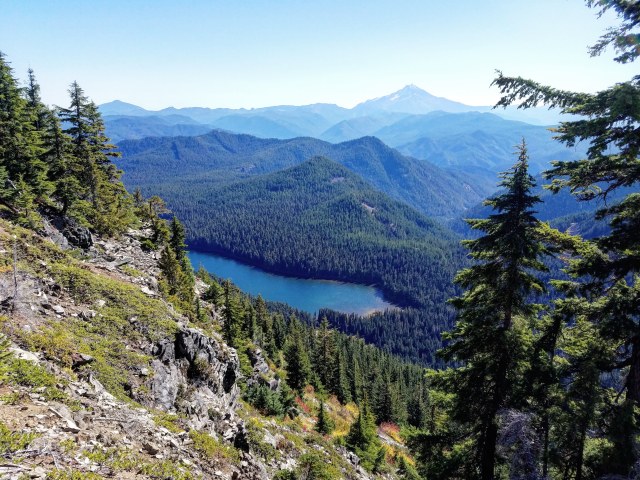
After 30 minutes on the summit, a bunch of photos, and some lunch, I got one last nice shot of Jefferson, with Elk Lake peaking out from behind a rocky outcropping.
Hunter Breckenridge – 2018
As I hit the trail to head back down and complete the loop, I could see a stocky black Lab with an elaborate harness and pack strapped around its torso. A short distance behind was a single hiker. The Lab greeted me with enthusiasm, and received well-deserved pats for her effort. The hiker who belonged to her chatted briefly with me. Then I was on my way. They would be the only people (as dogs are people too) I would come across during the entire hike.
The trail down was a series of moderately steep switchbacks, initially quite exposed. Excellent views of Jefferson continued for a while.
Hunter Breckenridge – 2018
I also had some great views of Mount Beachie as I eased down from the summit.
Hunter Breckenridge – 2018
Beachie could be hiked about as quickly as Battle Ax, and the trails for each met back up at a saddle near the road. If I gave myself more time, I might have considered a twofer.
Hunter Breckenridge – 2018
One more good view of Elk Lake appeared. The photo doesn’t show it, but I could see the wind pushing small waves across the surface of the lake.
Hunter Breckenridge – 2018
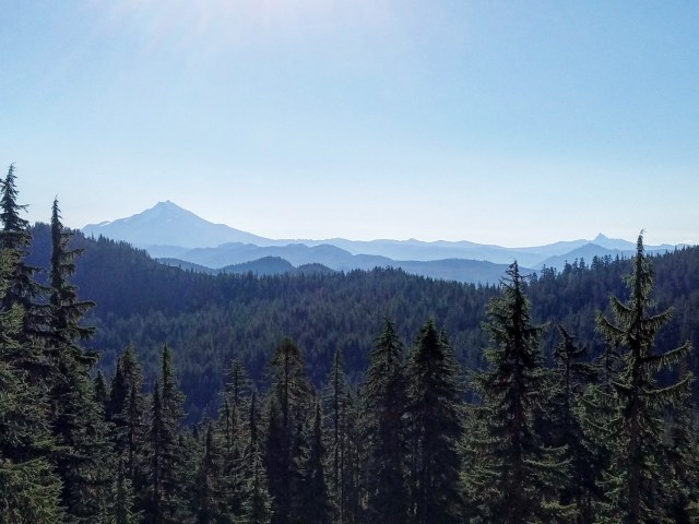
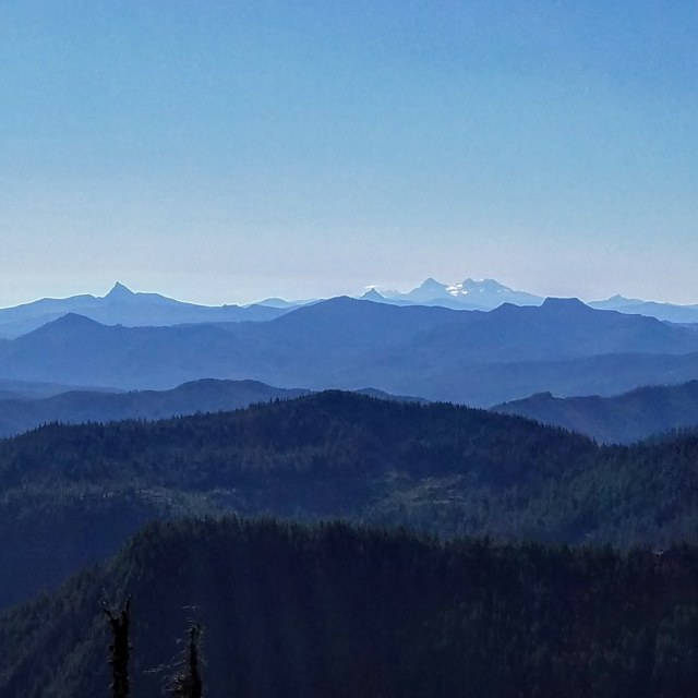
I managed to get a final decent glimpse of the distant Three Sisters before they disappeared below the horizon. Another shot at the South Sister will be a must next year, but I’m hoping to make attempts on the other two by 2020 or 2021. I need to work on route-finding and technical climbing.
And make a few climbing friends.
Hunter Breckenridge – 2018
I started descending into denser forest, but I had one last really good glimpse of Mount Jefferson, now seen in greater detail with the sun basically directly overhead.
Hunter Breckenridge – 2018
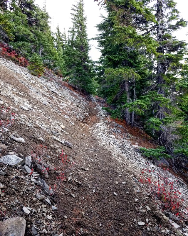
The rest of the descent was pretty easy.
Hunter Breckenridge – 2018
Hunter Breckenridge – 2018
Hunter Breckenridge – 2018
Hunter Breckenridge – 2018
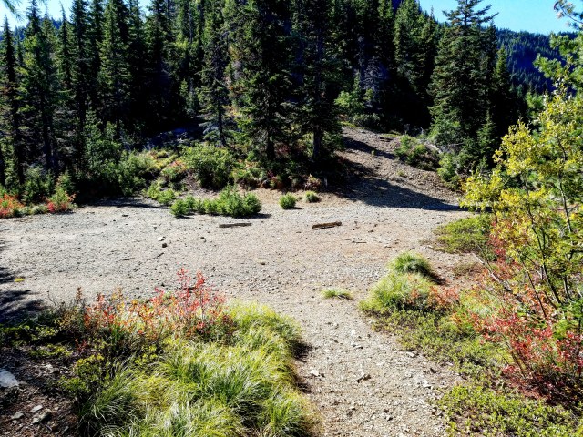
Around a quarter past 12, I reached the Beachie Saddle. It was a big wide open area that looked like a parking spot. I had the option to make a run up Mount Beachie here, or make a left and head back to the car.
I was tired, and had two hours to drive to get home, so I elected to be lame. Maybe next year…
Hunter Breckenridge – 2018
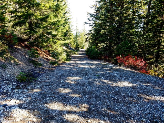
The final stretch of road started off decently, but eventually became impassable for vehicles.
Hunter Breckenridge – 2018

Hunter Breckenridge – 2018
At 12:30, I reached the passable part of the road, and at 12:40 I was back at my car.
This was the shortest, emptiest, and quietest hike of the year for me. Just under 1,800 feet of elevation gain (and then subsequent loss), about 6 total miles, one hiker, and one friendly dog, in just over four hours and twenty minutes.
While not particularly challenging, I recommend Battle Ax for the solitude and the spectacular vistas. I will likely be back in the future.

Pingback: Hiking Report – Mount McLoughlin | A Skewed Perspective